The Condotto Pubblico (Public Duct) is a mighty work that stretches for 13 km in the Piana di Lucca (Plain of Lucca) and crosses the city from northeast to southwest. Among the people of Lucca it is known simply as "il Fosso" (the ditch), but it is actually one of the most majestic and efficient hydraulic arteries ever built in the area.
Commissioned by the Republic of Lucca in the late 1300s, for centuries it was an important and strategic resource for typical manufacturing activities: it supplied energy to many factories significant to the city's economy, such as mills, spinning mills and woolen mills for processing and dyeing fabrics, machine shops and, in more recent times, textile industries (cotton mills, jute mills) and paper mills, for which water is an indispensable element for production. From the 17th century, the public conduit was also used to feed a very efficient network of canals, necessary for the irrigation of fields in the surrounding countryside. At the end of the nineteenth century and especially with the beginning of the new century, it gradually lost importance as new scientific discoveries (the steam engine, electric power, the internal combustion engine) quickly became the new driving forces of the nascent modern industries.
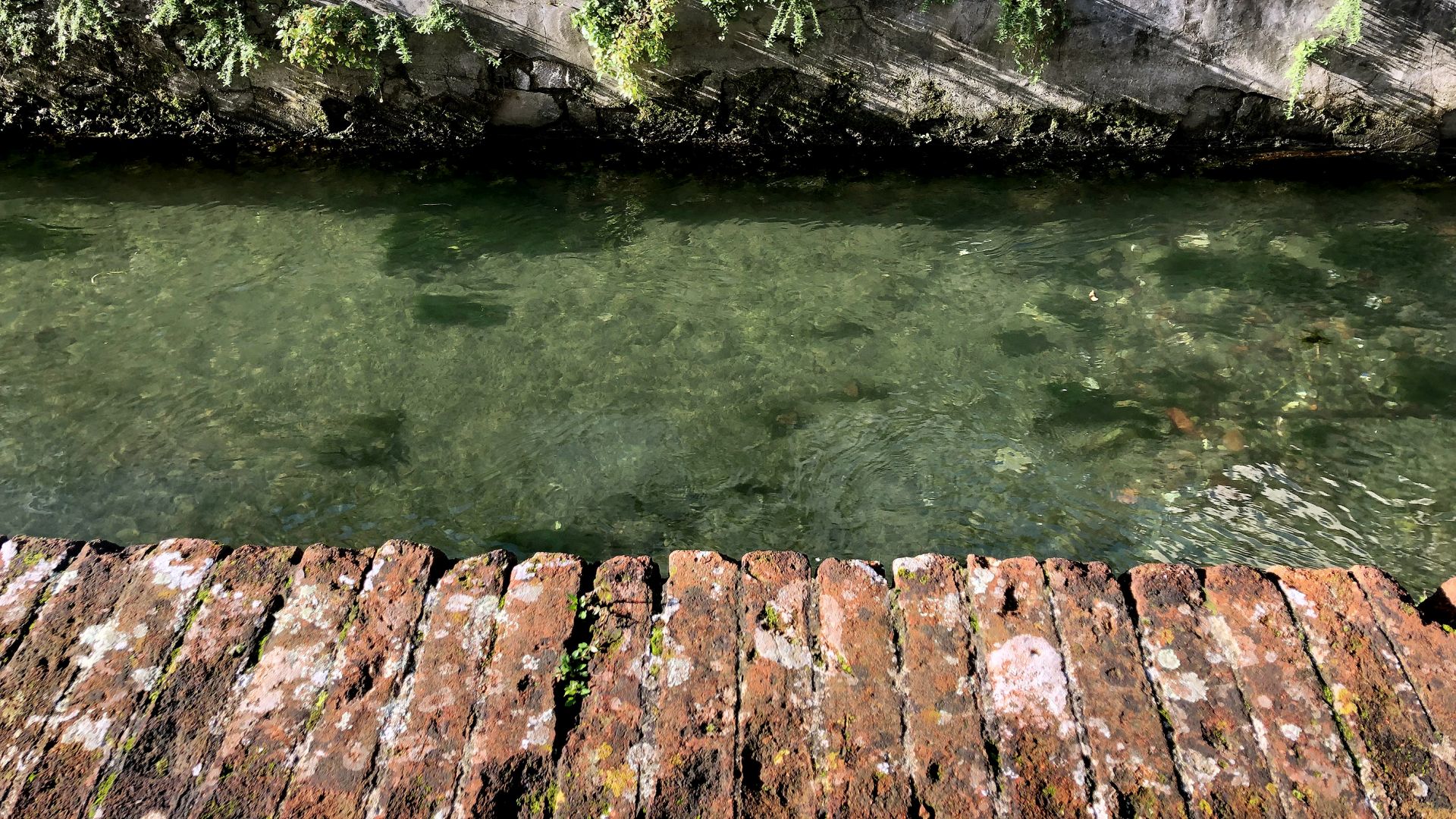
The waters of the Condotto, the same as those of the Serchio River from which it derives, after traveling a good stretch of the plain, enter the "walled city" and exit by flowing into another much larger canal, the Ozzeri.
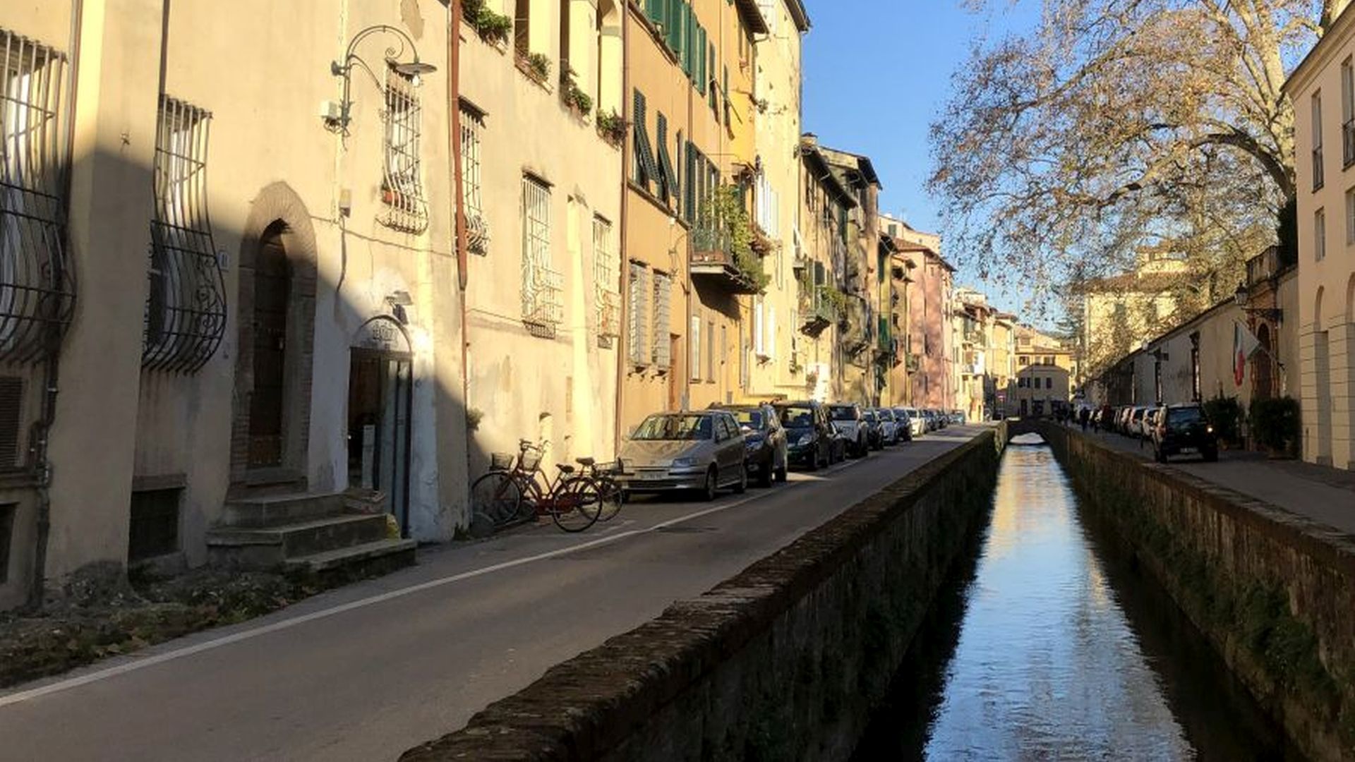
The route starts from the historic center, from the characteristic Via del Fosso where the city section of the public pipeline runs. This course, in the eastern part of the city, coincides with the moat that in medieval times protected the city walls. The waters of the Condotto Pubblico (they flow under the roadway in Corso Garibaldi), after exiting the cities run into the Piscilla Canal, which flows further south into the Ozzeri canal, a historically important canal along the slopes of the hills and mountains (Monti Pisani): these ones divide the Piana di Lucca (Plain of Lucca) from that of Pisa. The Ozzeri, navigable in ancient times, was the main channel of a network of ditches that not only regulated and collected the large amount of water of alluvial origin the Piana di Lucca was rich, but also connected the ancient basin of Lake Bientina with the Serchio River in the west of the city.
Two suggestive routes unfold from this confluence (Piscilla-Ozzeri): one, to the eas,t heads first toward the Nottolini aqueduct and then continues into the territory of the Municipality of Capannori, whereas the other, to the west, heads precisely toward the Serchio River. They are both naturalistic and scenic itineraries of considerable value, especially to understand the historical importance of the small villages crossed, which are an example of the fractionation of land ownership already performed in Roman times (the rural court: the house, the hut, the vegetable garden and the field).